US Church Scrape & Visualization
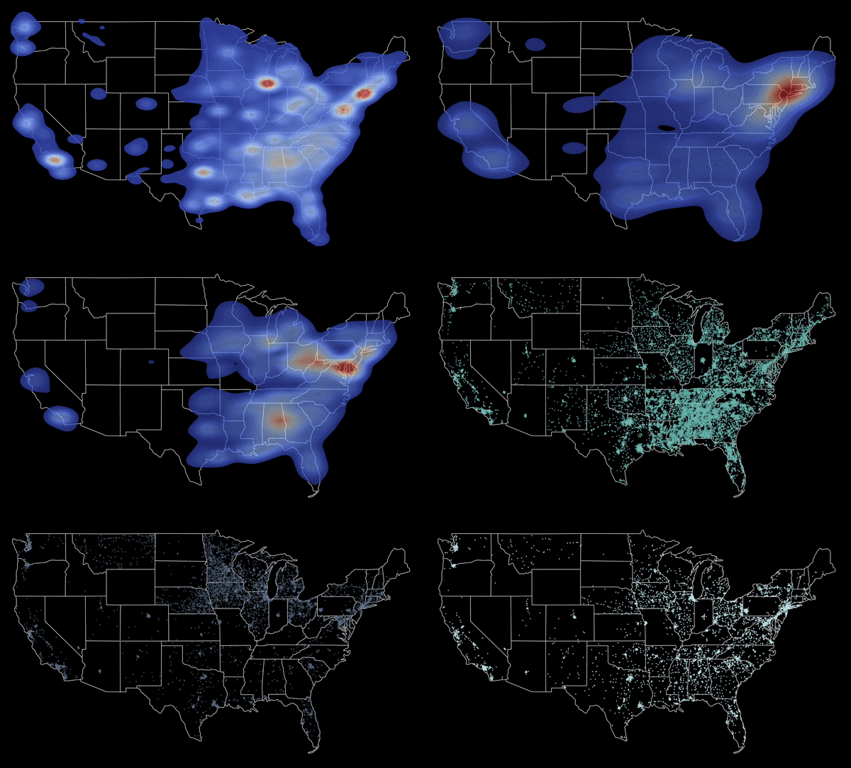
Mapping 200,000+ US churches by denomination to show geographic distributions across the United States
Overview
- Scrapes a large church directory with coordinates, classifies each entry by denomination, and plots the results as dot and contour maps
- Collected 200k+ church records with location coordinates via web scraping
- Classified churches by denomination using string matching and data cleaning
- Visualized geographic patterns with dot and contour plots on a US map
Tech Stack
| Layer | Tools |
|---|---|
| Collection | Python, BeautifulSoup |
| Cleaning | Pandas |
| Visualization | Matplotlib, Seaborn |
Skills Developed
- Web scraping and automation
- Large dataset cleaning and manipulation
- Geospatial data visualization